![]()
![]()
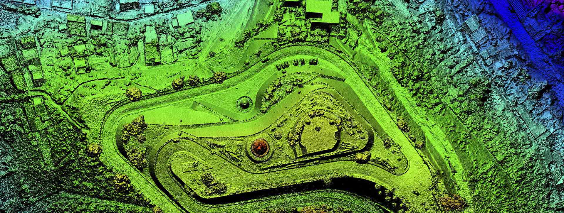
Understanding your area’s geography is vital for 911 call processing and dispatch, emergency preparedness, response, recovery, and makes a massive difference in the way your team is able to plan.
Through improvements and advances in GIS technology, the way that 911 centers, emergency planners, and responders obtain and utilize data is progressing.
Our team at MCM knows the value of this great data, which is why we specialize in providing you with comprehensive GIS planning, mapping, and analysis.
MCM Consulting Group, Inc. will complete a needs assessment and strategic plan for your geographic information system (GIS).
The needs assessment will identify your current software, hardware, GIS data, policies and procedures.
MCM will then develop a strategic plan that will identify short term, medium term and long term goals and identify any new software or equipment necessary to enhance your GIS program.
At all times, MCM will consider next generation 911 standards as they will relate to your GIS program. Our GIS experts have extensive experience with public safety GIS systems.
The MCM Consulting Group, Inc. team is not only full of GIS experts but project managers too.
With our expertise, we help produce accurate and consistent data results, project maps, and mitigation plans with pertinent applications to your emergency response.
We offer more than just system implementation, but a partner for your entire project journey.
We bring GIS knowledge and guidance to help you with collecting field data, mapping and addressing coordination, and community outreach.
At MCM, your system, your data, and the projects that surround it are our priority.
Now that you have new and improved GIS software, you deserve to get the most out of it, which is why we are here to help.
Through ample training upon implementation, MCM Consulting Group, Inc. makes sure you understand the ins and out of your GIS addressing software as well as digital parcel editing throughout each system update.
We help you become the experts in data site access and data interpretation so you can continue to improve your emergency response plans.
Commission GIS Update Project
The Pennsylvania Turnpike Commission (PTC) identified that several updates to the current GIS data and 911 address ranges were necessary to enhance emergency response capabilities.
MCM Consulting Group, Inc. completed an analysis of the road range data and 911 addressing data and scheme and then developed a comprehensive report on all findings.
MCM then completed an update to all road ranges using a common methodology approved by the PTC and addressed any non-addressed structures.
The final step with the project was the dissemination of updated GIS data to the counties in which PTC roadway is located.
Hazard Mitigation GIS Services
MCM Consulting Group, Inc. is currently developing an update to the Monroe County, Pennsylvania Hazard Mitigation Plan.
MCM will conduct GIS data updates and GIS analysis to determine vulnerabilities to specific hazards and to provide a vision of the overall profile of Monroe County.
MCM will also conduct a HAZUS software loss estimation analysis for flooding.
All GIS data and maps will be integrated into the updated hazard mitigation plan.
The updated plan will be reviewed and approved by the Pennsylvania Emergency Management Agency and the Federal Emergency Management Agency and then adopted by resolution by Monroe County and all participating municipalities.
GIS Professional Services
MCM Consulting Group, Inc. is currently providing professional GIS services to Montgomery County, Pennsylvania through a professional services agreement with our partnering agency JMT Technology Group.
This project will further enhance all 911 addressing and GIS data for Montgomery County.
MCM will complete field address verifications and the review and update of all road centerline ranges.
Cameron County GIS Consulting Services
The County of Cameron, Pennsylvania has contracted MCM Consulting Group, Inc. (MCM) to complete GIS professional consulting services on an annual basis for three years.
MCM will complete the annual maintenance on all of Cameron County’s GIS data and also provide subject matter expertise on all GIS related questions or programs.
MCM will also assist with data transfer from a current server to a new GIS server that will serve all the Cameron County offices and departments.
Blair County, PA | Bradford County, PA | Cameron County, PA | Clarion County, PA | Clinton County, PA | Crawford County, PA | Forest County, PA | Greene County, PA | Juniata County, PA | Lawrence County, PA | Lebanon County, PA | McKean County, PA | Mercer County, PA | Monroe County, PA | Montour County, PA | North Central Regional 911 System | Norther Tier Regional 911 System Project Group, PA | PA Turnpike Commission | Somerset County, PA | Sullivan County, PA | Summit County, OH | Susquehanna County, PA | Tioga County, PA | Warren County, PA

